什麼是地理空間資料?
最簡單的定義是地理空間資料是地圖上描繪的資訊。這是與地球表面或附近地點或事件有關的資料。
地理空間資料可以識別靜止不改變的位置和事件(如建築物或以前的地震),或動態和變化的位置和事件(如流行病或移動車輛的傳播)。有關物件或事件的資料通常包括位置,如地球上的座標;物件或事件的特性,如名稱;以及“時間”資料,表示事件的時間或影像的跨度。
地理空間資料可能來自許多來源,包括:
- 衛星影像
- 天氣資料
- 人口普查資料
地理空間資料和 GIS 資料之間有何差異?
地理資訊系統 (GIS) 會儲存地理資訊,並將其與地理軟體程式整合,以便分析和視覺化空間資訊。GIS 系統使用並儲存地理空間資料,作為分析和視覺化的一部分。

地理空間資料應用程式
- 環境保護:地理空間資料有助於在森林火災發生時偵測森林火災,並記錄它們的影響。
- 農業:農夫們可以使用地理空間資料來追蹤作物的進度,並評估作物的健全度。
- 物流:運輸公司使用地理空間資料來追蹤貨物運輸、建立路線,並預估抵達和離開時間。
- 氣象學:科學家和研究人員可以追蹤天氣事件的進展,並在發生颶風等事件之前分享警示。
- 醫療保健:研究人員可以利用地理空間資料追蹤疾病爆發的蔓延。
- 零售:地理空間資料有助於零售商了解實體位置附近地理區域的收入水準、人口密度、年齡和客戶位置,因此商店可以決定要銷售哪些產品和品牌。
地理空間資料的類型
地理空間資料分為兩組:向量資料和光柵資料。
向量資料是由指示實體位置的點 建立。這些點可以用直線或多邊形方式接合,如下所述:
- 點資料:點資料代表特定資料點,例如學校和橋樑。它也可以用來代表地點名稱和城市位置。
- 線路資料(也稱為電弧資料):線資料用於代表線性特徵,例如有起點和終點的街道、小徑或河流。
- 多邊形資料:多邊形代表城市邊界、公園或湖泊等區域。
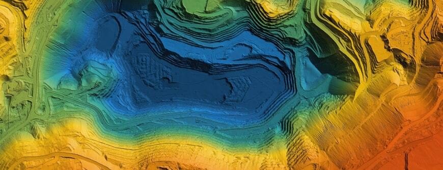
以像素或儲存格建立光柵資料。以光柵格式儲存的資料可能來自衛星影像、航空照片或數位影像。光柵資料可以用來代表土地使用或樹木覆蓋,甚至是溫度或海拔等功能。
使用地理空間資料的效益
透過視覺化地質空間資料,決策者可以更輕易地查看重要業務資料如何隨時間變化,以及在何處變化。應用程式包括:
預測變化和事件:由於地理空間資料包含時間(時間式)資訊,研究人員可以利用這些資訊預測未來隨時間的變化。例如,資料可以幫助企業根據人口密度的變化,決定在何處開通新地點。在發生乾旱或洪水的地方,研究人員可以尋找未來可能發生災難性事件的跡象,並提醒決策者採取拯救生命或作物的步驟。
了解人口統計特性:顯示人口、教育程度和收入變化的表格,是講述當地公民或潛在客戶故事的一部分。但透過結合這些資料與位置資料,決策者可以了解變革的發生地點。
針對產品及解決方案:地質空間資料分析可以闡明為什麼產品與策略在一個地區可能成功,但在另一個地區卻失敗。
運用 Pure Storage 解決地理空間資料的挑戰
地質空間資料遠不止地圖上的影像或點。它將地點或事件與地圖上的點連結起來,讓我們能更了解人類活動對地理位置的影響,尤其是當我們隨著時間的推移檢視地理空間資料時。但儲存可能會造成獨特的挑戰。
Pure Storage® 提供多項解決方案,包括:
- FlashBlade®: 全球領先的 整合式高速檔案暨高速物件 (UFFO) 平台。它非常適合分析、Machine Learning、Artificial Intelligence和類似的邊緣資料流程。
- FlashArray FlashArray FlashArray:結合全快閃儲存的高效能與 VMware整合 ,打造混和雲解決方案。它支援結合虛擬機器和容器的 5G 多模式基礎架構。
FlashBlade 和 FlashArray 的高密度、低耗電量,以及簡易的遠端管理,使其成為在邊緣位置部署的理想選擇。
此外,Pure Storage 的 Portworx® 提供了一個儲存層,可在邊緣端運行雲端原生工作負載。它為容器化工作負載提供完整的解決方案,包括備份和Disaster Recovery。Portworx 與 FlashBlade 和 FlashArray 整合,提供高效能和高可靠性。